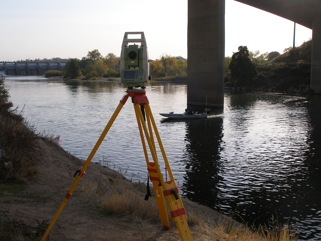
Hydrographic survey is the science of measurement and description of features, which affect maritime navigation, marine construction, dredging, offshore oil exploration/offshore oil drilling and related activities. It is used to define shore line and under water features.
Why need Dexterous Hydrographic Survey Services?
- Offshore engineering and the shipping industry have continued to expand.
- Drilling rigs (extracting oil, gas etc from deep sea) locating up to 125miles offshore, search for resources particularly oil and gas.
- Offshore islands are constructed of dredged material (to bring material form some where and dump there) to support marine structure.
- Harbor depth up to 80 is required to accommodate larger ships and tankers.
- Containerization has become an efficient and preferred method of cargo handling.
- The demand for recreational transportation ranges form large pleasure cruise ships to small sail bonds.
- Cruise ships to small sail bonds. Hydrographic surveys are made to a quire and present data on oceans, lakes and harbors. It comprises all surveys made for:
- The determination of shorelines, soundings (measurement of depth below the water level) characteristics of bottoms, areas subjected to Suring and silting, depth available for navigation and velocity as well as characteristics of flow of water.
- The location of lights rocks sand balls, buoys ( anything that floats on the surface of water).
At Dexterous we employ the latest technology and Software in Solving Hydrographic Survey Challenges.